top of page
Construction Site Analysis and Inspection
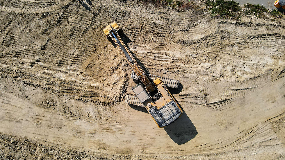
At Carta Drone Services, we utilize drones paired with RTK (Real-Time Kinematic) systems to provide precise monitoring and analysis of construction sites. This advanced technology ensures highly accurate spatial data, allowing us to create detailed 3D models, topographic maps, and orthomosaics of construction areas. Our RTK-equipped drones capture real-time information on site conditions, progress tracking, and safety compliance. This enables project managers to make informed decisions, streamline workflows, and maintain high standards of quality and safety. With Carta Drone Services, you receive unparalleled accuracy and actionable insights for effective construction site management.
bottom of page

